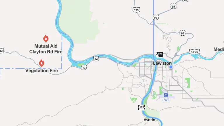
Clarkston, Washington As drought conditions in eastern Washington worsen, the U.S. Department of Agriculture has identified Asotin, Garfield, and Whitman Counties as priority natural disaster regions.
The U.S. Drought Monitor reports that the three counties are currently experiencing severe drought, making farmers in the impacted counties as well as their neighbors eligible for emergency financial assistance from the federal Farm Service Agency.
Because state and federal agencies assess drought conditions differently, these counties were left out of Washington’s state-level drought designation. On April 8, the Washington Department of Ecology issued a state drought emergency, which was extended on June 5. When the water supply falls below 75% of normal and causes excessive hardship to people or the environment, a drought is proclaimed under state legislation. State announcements, however, do not provide individual farmers with direct assistance.
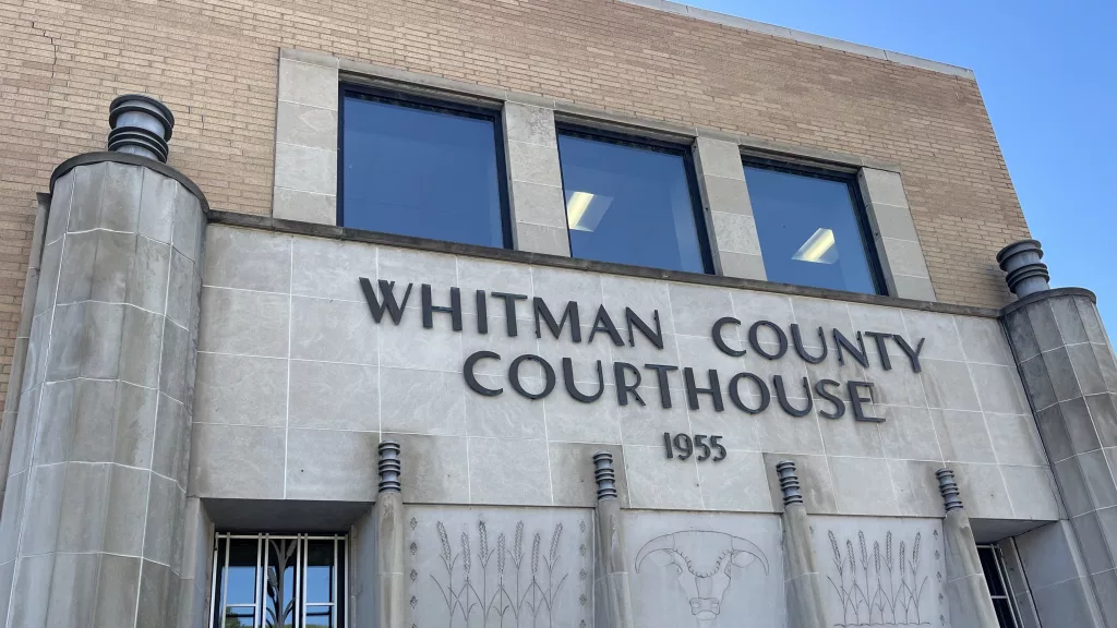
The area’s rapidly worsening drought served as the impetus for the new government designation. A county is eligible under federal rules if it experiences D2 (severe drought) for at least eight weeks in a row, or if it hits D3 (extreme drought) or D4 (exceptional drought) during the growing season. Currently, the only counties in the state designated as D3 are Asotin, Garfield, and Whitman.
Eastern Washington had record-breaking drought in June. It was the driest June ever recorded in Franklin and Grant Counties, with Adams County receiving just 0.01 inches of precipitation and Franklin and Grant Counties reporting zero. With less than 0.25 inches of precipitation, Whitman, Garfield, Walla Walla, and Spokane Counties also had its driest Junes. Even the wettest county in the area, Pend Oreille County, had its fourth driest June ever.
June 2025 was the tenth warmest and third driest June on record for the entire state of Washington. Just 23% of the state’s typical June precipitation fell on the state. It was the seventh driest start to the year ever from January to June.
The amount of snowpack has also drastically decreased. The majority of snow monitoring locations were either substantially below normal levels or had already melted out by July 1. Melt-out happened a few weeks early than usual in several places. For instance, Corral Pass melted out thirty-one days early.
The Lower Yakima Basin is seeing the severe shortages in soil moisture, which is still declining. The effects of the prolonged drought are exacerbated by this deficiency of moisture, which impairs the ground’s capacity to absorb any future rainfall.
With no quick respite in sight, the Climate Prediction Center predicts that Washington will have warmer and drier-than-normal weather through July and August.